
Project
Portfolio

Scroll

Stadiums, tech campuses, datacenters — explore how we deliver.

Project Spotlight
About This Project

Flywheel AEC provided comprehensive BIM coordination and UAV aerial mapping services for the $1.9 billion Allegiant Stadium project. Our team integrated civil, structural, and MEP disciplines across the full project lifecycle, conducting regular drone flights to support clash detection, progress tracking, and quality assurance. The project required coordination of over 30 trade partners and hundreds of BIM models to deliver one of the most complex stadium builds in recent history.

Client Mortenson | McCarthy Joint Venture
Services BIM Coordination, UAV Aerial Mapping, Clash Detection, QA/QC
Location Las Vegas, NV
Scope $1.9B / 65,000 Seats
About This Project

Flywheel AEC supported the Google Charleston East campus with end-to-end BIM coordination and UAV aerial mapping services. Our team managed multidiscipline model integration across architecture, structure, and MEP systems, while drone flights captured site progress documentation at regular intervals. The project demanded tight coordination between multiple design and construction teams to meet Google's ambitious timeline and sustainability goals.

Client Google / Hathaway Dinwiddie
Services BIM Coordination, UAV Aerial Mapping, Model Integration
Location Mountain View, CA
Scope Mixed-Use Campus Development
About This Project

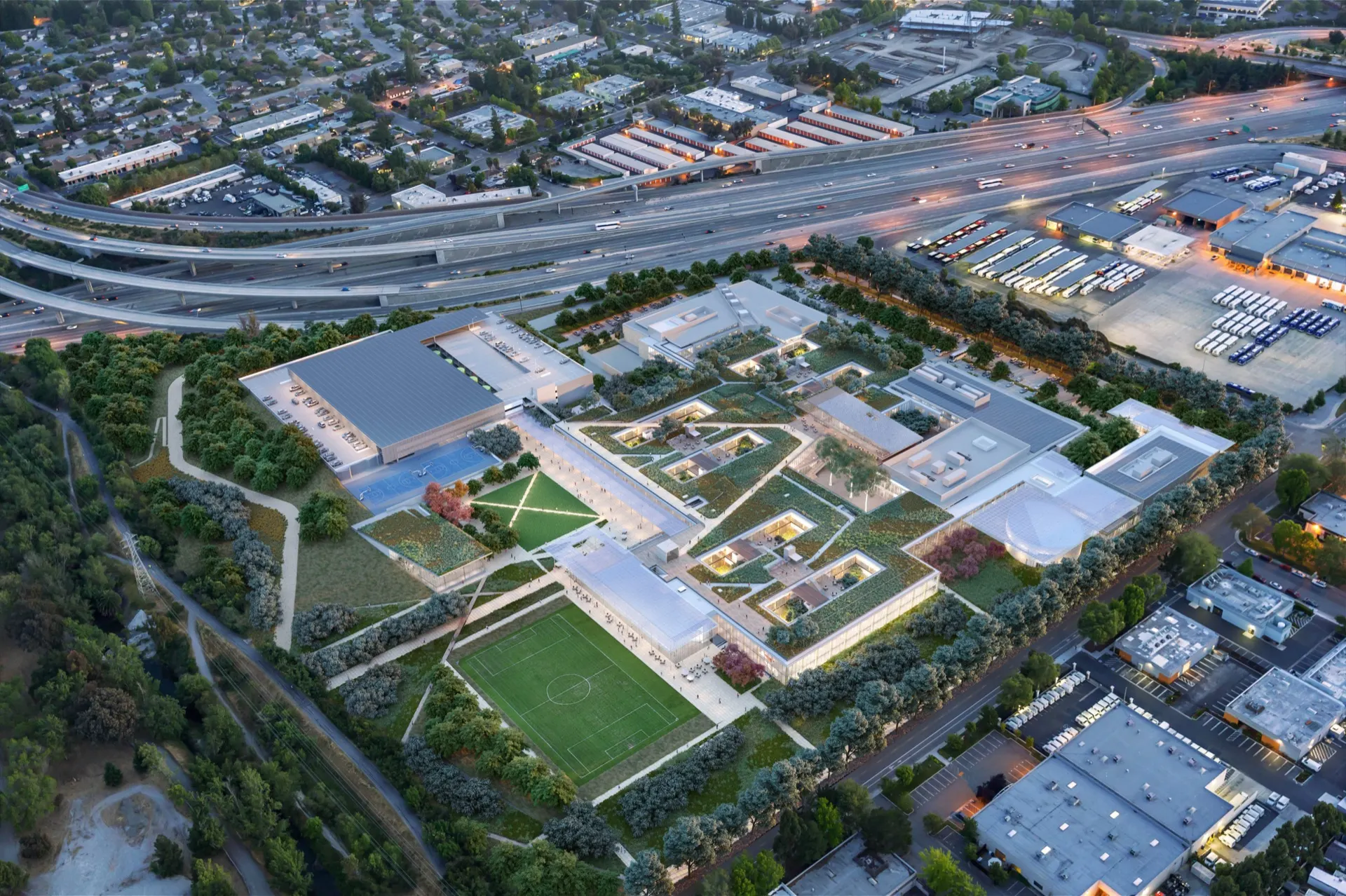
Flywheel AEC delivered comprehensive BIM and UAV services for the Microsoft Silicon Valley campus renovation project. Our scope included full-discipline model coordination, aerial mapping for site monitoring, and streamlined construction workflows. The campus renovation required careful phasing to maintain operations during construction while modernizing the existing infrastructure to meet Microsoft's evolving workspace requirements.

Client Microsoft / DPR Construction
Services BIM Coordination, UAV Mapping, Construction Workflows
Location Mountain View, CA
Scope Campus Renovation & Modernization
About This Project

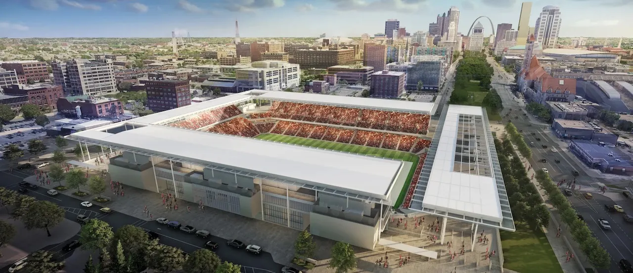
Flywheel AEC provided dedicated UAV aerial mapping and progress documentation services for the new Major League Soccer stadium in downtown St. Louis. Regular drone flights captured high-resolution imagery and point cloud data used for site monitoring, earthwork verification, and stakeholder reporting. Our aerial data products helped the project team track construction milestones and communicate progress to city officials and league representatives.

Client St. Louis CITY SC / Mortenson
Services UAV Aerial Mapping, Progress Documentation, Site Monitoring
Location St. Louis, MO
Scope 22,500-Seat MLS Stadium
About This Project

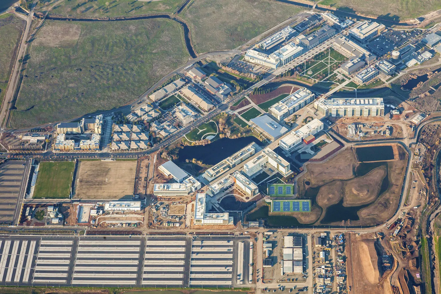
Flywheel AEC provided BIM coordination for the UC Merced 2020 campus expansion, one of the largest public-private partnership (P3) higher-education projects in United States history. Our team managed the integration of multiple building and infrastructure models spanning academic facilities, student housing, research labs, and site utilities. The project's scale and compressed timeline demanded rigorous model management, clash resolution workflows, and coordination across dozens of design and trade partners.

Client Plenary Properties Merced / Webcor Builders
Services BIM Coordination, Multi-Building Integration
Location Merced, CA
Scope 1.2M SF Campus Expansion (P3)
About This Project

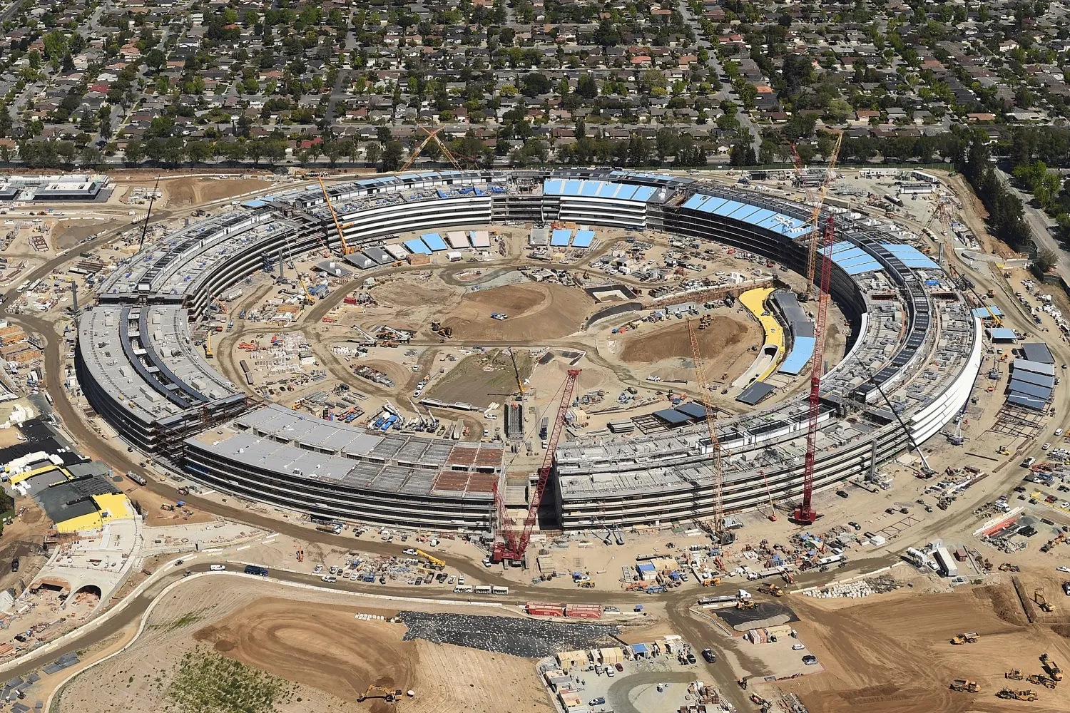
Flywheel AEC supported Apple Park with integrated BIM coordination and UAV aerial mapping services. Designed by Foster + Partners, Apple Park is one of the most ambitious corporate campus projects ever built—a 2.8-million-square-foot circular main building set within 175 acres of restored landscape. Our team focused on civil and structural coordination while providing regular aerial progress documentation to support project controls and owner reporting. The campus project involved complex site logistics and multi-phase delivery requiring precise coordination between horizontal and vertical construction activities.

Client Apple / Foster + Partners
Services BIM Coordination, UAV Mapping, Civil & Structural
Location Cupertino, CA
Scope 2.8M SF / 175-Acre Campus
About This Project

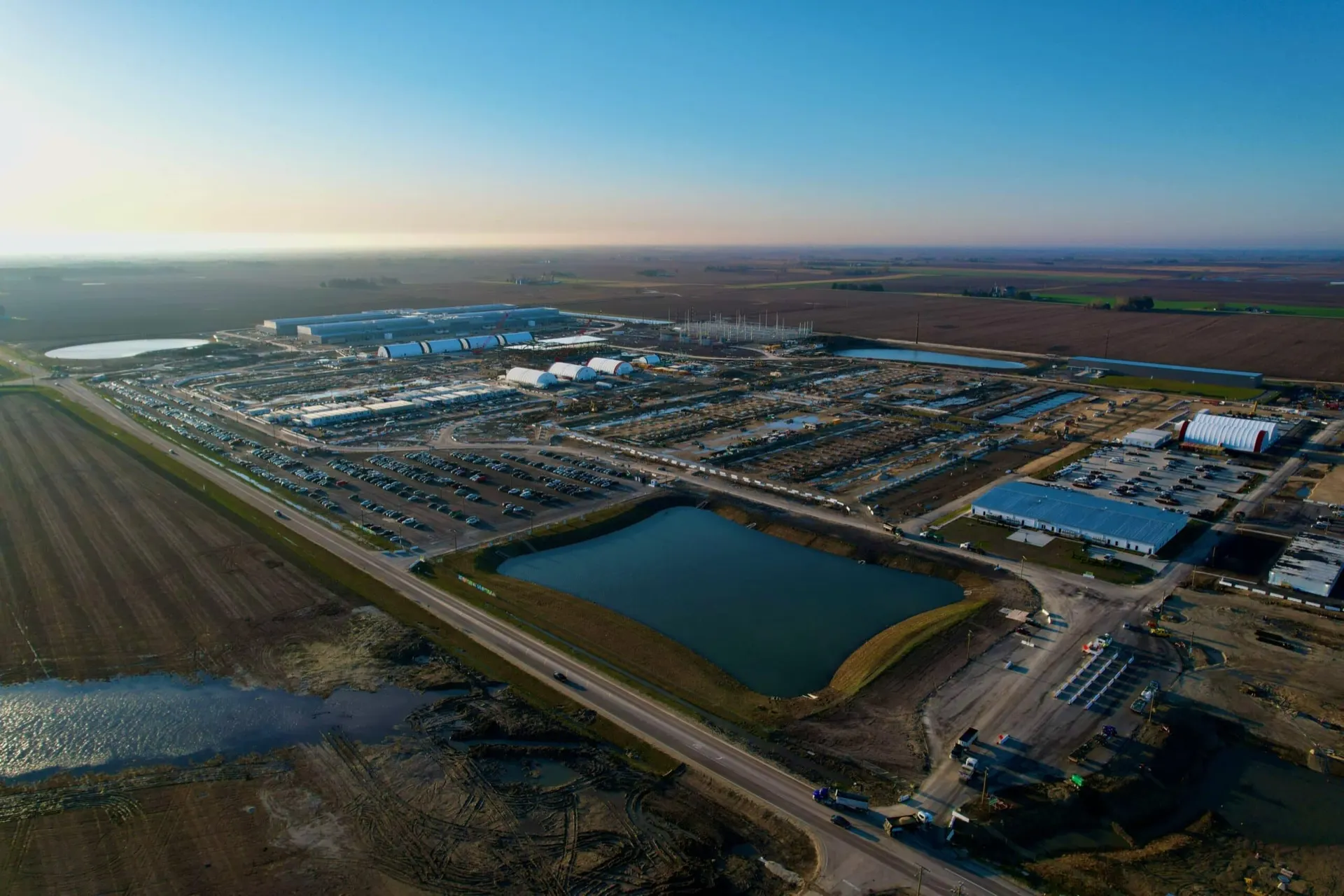
Flywheel AEC provided BIM coordination services for the DeKalb Data Center, a hyperscale facility spanning 907,000 square feet on a 500-acre campus approximately 65 miles west of Chicago. Our team managed complex MEP integration across five two-story server buildings, each approximately one mile in length, with redundant mechanical, electrical, and cooling systems critical to 24/7 datacenter operations. The project required coordination of over 35 subcontractors and meticulous clash detection workflows to ensure uninterrupted power distribution and cooling infrastructure—including systems consuming 6.7 gallons of water per second. The facility achieved LEED Gold Certification and was delivered ahead of schedule in December 2024.

Client Mortenson (Hyperscale Client)
Services BIM Coordination, MEP Integration, Clash Detection, Prefabrication Support, UAV Aerial Mapping
Location DeKalb, IL
Scope 907K SF / 500-Acre Campus / LEED Gold
About This Project

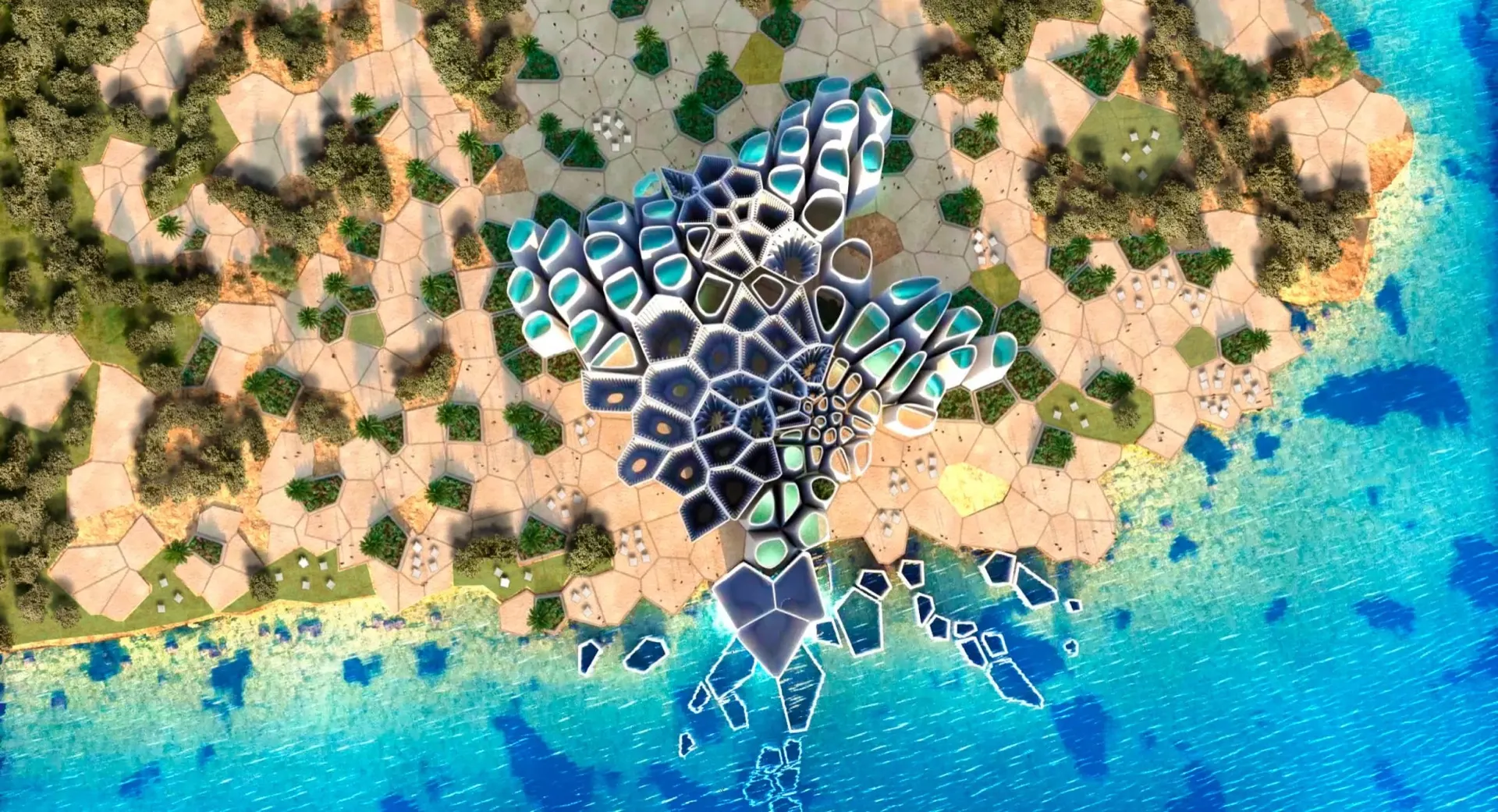
Flywheel AEC provided civil BIM services for the Triple Bay development at AMAALA, an ultra-luxury resort destination on Saudi Arabia's Red Sea coast. Master-planned by HKS Architects with landscape design by SWA Group, the 6.5-kilometer island development encompasses the Four Seasons Resort and Residences, 2,500 hotel keys, 700 residential villas, and world-class wellness and sports facilities. Our team supported grading design, irrigation planning, and landscape coordination across the resort's varied coastal terrain with detailed civil modeling. The project is powered by 100% renewable energy as part of Saudi Vision 2030.

Client AMAALA / Red Sea Global
Services BIM Coordination, Civil & Terrain Modeling, Grading Design Support
Location AMAALA, Red Sea, Saudi Arabia
Scope 6.5km Ultra-Luxury Resort District / 2,500 Hotel Keys
About This Project

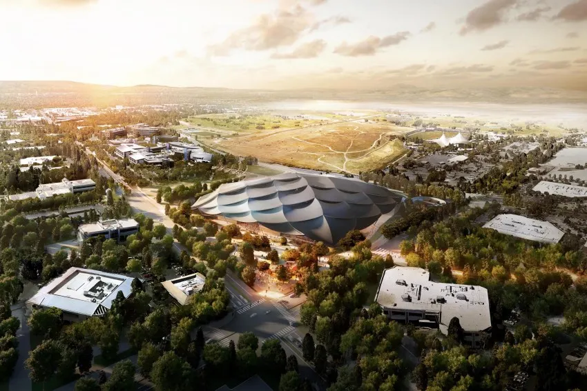
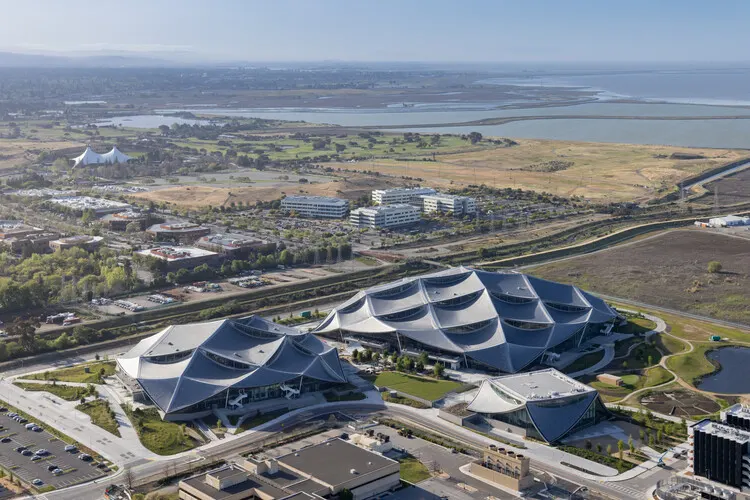
Flywheel AEC provided BIM coordination and UAV aerial mapping services for Google Bay View, Google's first-ever ground-up campus designed by BIG-Bjarke Ingels Group and Heatherwick Studio. The 1.1-million-square-foot campus spans 42 acres and features three buildings with distinctive tent-like, inward-curving roofs covered by a signature dragonscale solar skin composed of 50,000 silver photovoltaic panels generating approximately 7 megawatts of energy. Our team coordinated complex structural and MEP models beneath the innovative canopy structures, collaborating with Thornton Tomasetti (structural), Integral Group (MEP), and specialty fabricators. Regular drone flights documented construction progress and supported quality verification of the rooftop solar installation. The campus targets LEED-NC v4 Platinum certification and features North America's largest geothermal pile system.

Client Google / BIG / Heatherwick Studio
Services BIM Coordination, UAV Aerial Mapping, Dragonscale Canopy Coordination
Location Mountain View, CA
Scope 1.1M SF / 42-Acre Campus / LEED Platinum Target
About This Project

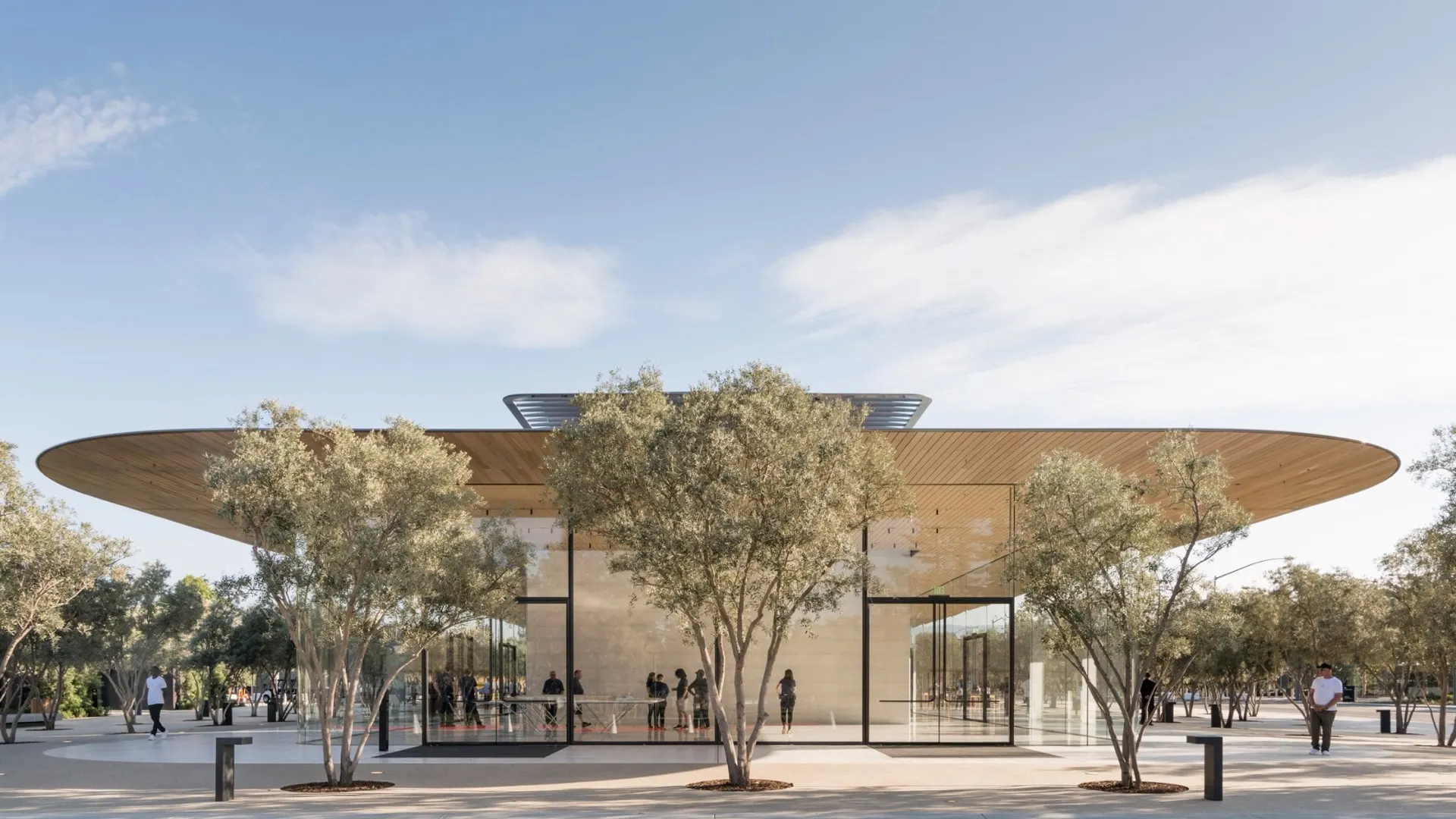
Flywheel AEC supported the BIM coordination effort for the Apple Park Visitor Center in Cupertino, designed by Foster + Partners as the public gateway to Apple Park. The 20,135-square-foot building features a transparent glass envelope beneath a floating carbon-fiber roof that cantilevers over outdoor seating areas, nestled within a carefully planted olive grove. Our team worked closely with the design and construction teams to resolve complex intersections between the structure, full-height glass curtain walls, carbon-fiber roof canopy, and concealed MEP systems. The project demanded exacting precision to achieve the seamless finishes Apple is known for—including staircases clad in the same quartz stone as the main Apple Park building and a roof terrace shaded by delicate curved carbon-fiber fins offering panoramic campus views.

Client Apple / Foster + Partners
Services BIM Coordination, Architectural Integration, Curtain Wall Coordination
Location Cupertino, CA
Scope 20,135 SF Visitor Center & Retail Pavilion
About This Project

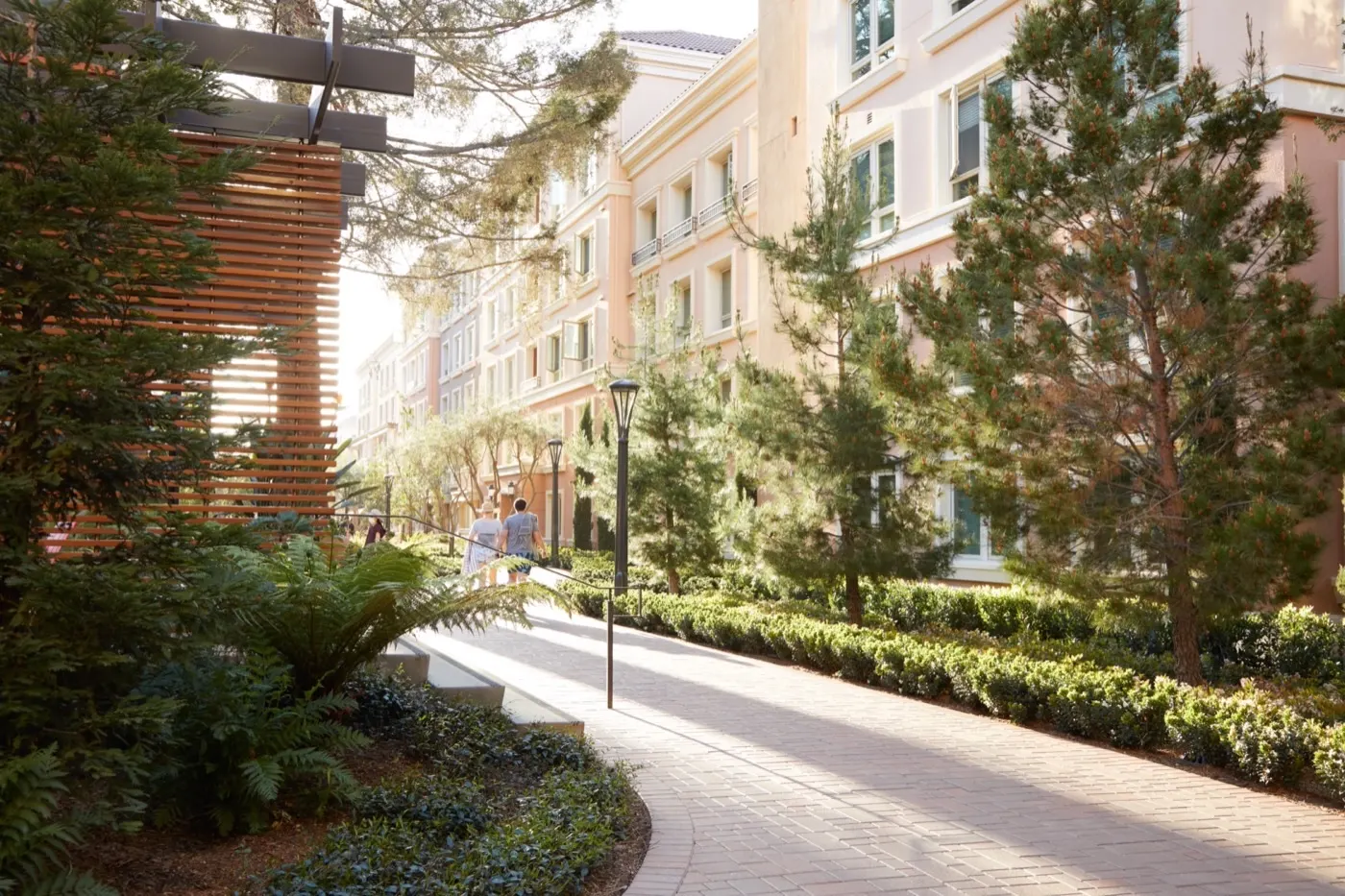
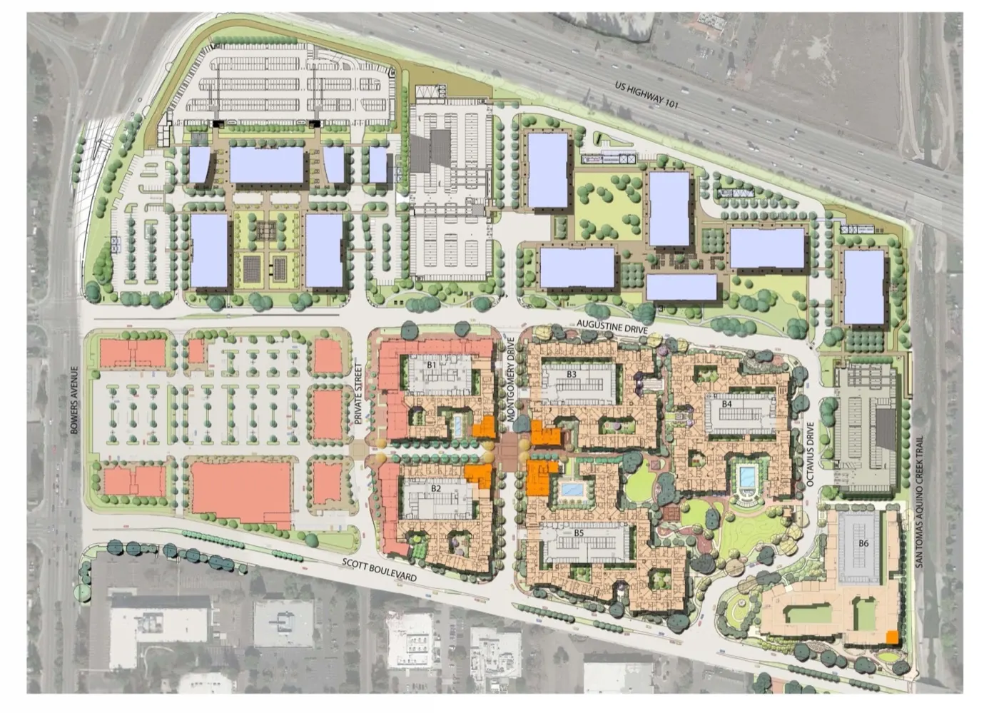
Flywheel AEC provided BIM coordination and UAV aerial mapping for Santa Clara Square, The Irvine Company's 90-acre master-planned urban village along U.S. Route 101 in Santa Clara. Designed by MVE + Partners (Phase II) along with five additional architecture firms and three landscape architecture firms, the development encompasses 1.7 million square feet of office space across eight buildings, 180,000 square feet of retail anchored by Whole Foods Market, and 1,800 residential units. Our team managed model coordination across multiple building types and phased delivery, while drone flights supported site-wide progress monitoring and earthwork verification. The project's concurrent design and construction activities—serving tenants including Ericsson, Amazon, AMD, and Analog Devices—demanded rigorous coordination sequencing to maintain the compressed schedule.

Client The Irvine Company / MVE + Partners
Services BIM Coordination, UAV Mapping, Mixed-Use Integration, Multi-Phase Delivery
Location Santa Clara, CA
Scope 90-Acre Master Plan / 1.7M SF Office / 1,800 Residential Units
Santa Clara Square project photo
About This Project

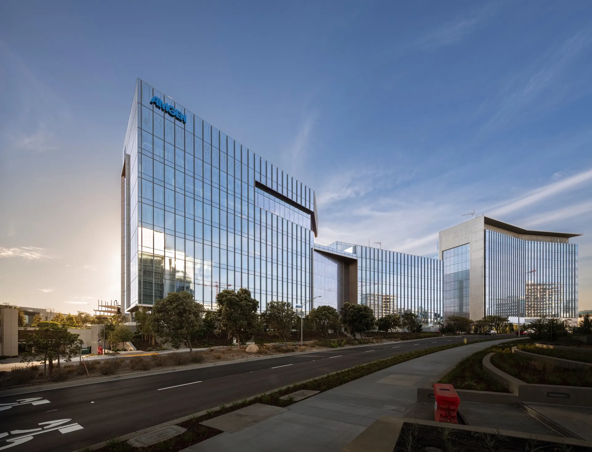
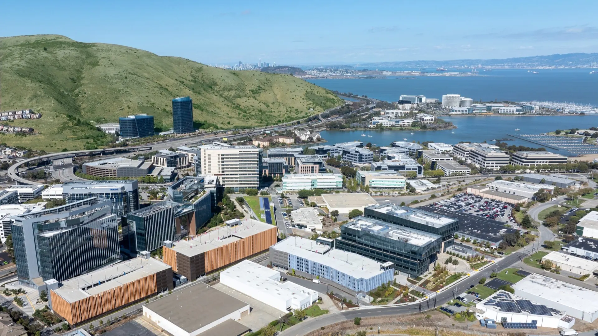
Flywheel AEC delivered BIM coordination and UAV aerial mapping services for Gateway of Pacific, BioMed Realty's landmark 36-acre life science campus at the front door to South San Francisco's biotechnology cluster. Designed by FLAD Architects with landscape architecture by CMG, the 2.2-million-square-foot campus spans 10 buildings organized across 5 phases, including GOP I and the Traverse amenity center (both LEED Platinum) and multiple LEED Gold-certified buildings. Our scope included coordination of complex laboratory mechanical systems, aerial documentation of multi-phase construction progress, and model integration across the campus's technically sophisticated infrastructure—including a 5.5-acre central park built atop structured parking. The campus serves as a gateway to the Bay Area's largest ecosystem of life science research institutions, located 3.8 miles from SFO with six commuter transit options.

Client BioMed Realty (Blackstone) / FLAD Architects
Services BIM Coordination, UAV Mapping, Life Science Lab Integration
Location South San Francisco, CA
Scope 2.2M SF / 36-Acre Campus / 10 Buildings / LEED Platinum + Gold
Gateway of Pacific project photo